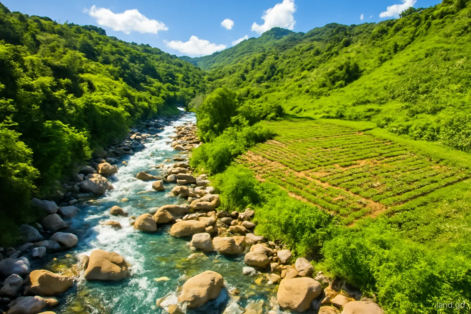
Grenada's rivers are short and steep. Rain that falls on the central mountains reaches the sea within hours, through valleys such as the Great River on the east side, the St John's River near Gouyave and the many smaller streams that cross the west coast road. In normal weather they are pleasant, clear and easy to love. In a heavy downpour they rise fast, carry boulders and debris, and undercut banks that looked solid the day before.
Land beside water is attractive for farming, for gardens and for the sound of a river at night. It also sits where flooding, erosion, public water supply and pollution rules all meet. This page explains how those factors affect buying and building, and what to ask before committing to a riverside plot.
Why riverside land behaves differently
Flash flooding is the main risk. Narrow valleys concentrate runoff, and a river can rise by metres during a tropical wave or storm. Houses built on low terraces close to the channel, or on fill pushed into the floodplain, are the ones that suffer. Older residents usually know how high the water has come; their memory is often more useful than any map.
Banks move. Rivers in steep terrain shift course over years and sometimes overnight. A garden that ends at the water today may lose a strip in the next big flood, and walls built to stop that can push the problem onto a neighbour downstream, which causes disputes.
Debris is the third hazard. Bridges and culverts blocked by fallen trees and rubbish turn a river into a dam and then a surge. Land just upstream of a culvert or bridge on a village road deserves particular caution, as does any plot where water already pools after an ordinary heavy shower.
Springs add a further layer. Many rural districts depend partly on springs for drinking water or irrigation, and some feed small community supply systems. A plot with a spring is valuable, but the water may come with expectations from neighbours that are not written in any deed.
Rules and agencies that come into play
Planning setbacks from water. The planning authority can require buildings and septic systems to be set back from rivers and streams. The distance depends on the site, but expect it to be generous where banks are steep or flooding is known.
Public water supply. NAWASA draws much of the island's water from rivers and springs in the hills. Activity upstream of an intake, including septic systems, livestock pens and chemical use, can be restricted to protect supply.
Soil and water conservation law. Forestry legislation in Grenada has long addressed the protection of soil and water on steep and riverside land, including limits on clearing. Ask the forestry authorities whether any part of a plot falls under such controls.
Crown land and river beds. River beds and strips along some watercourses may be public rather than private land. A survey should show whether the boundary runs to the bank, the centre of the stream or a line set back from it.
Taking sand and stone. Removing gravel, sand or boulders from rivers is controlled because it destabilises banks and bridges. It is not an informal source of building material.
Questions to ask about a riverside plot
A site visit after heavy rain tells you more than one in bright sunshine. Use it to work through these points:
- How high has the river come in living memory, and did it reach the area where you plan to build?
- Is there debris, scour or silt on trees and walls that shows past flood levels?
- Does the survey plan show the bank, a reserve strip or the river centre as the boundary?
- Is there a NAWASA intake upstream or downstream, and does that affect septic design or use?
- Is access over a bridge, ford or culvert that becomes impassable in floods?
- Do neighbours share a spring or irrigation line that crosses the land, and on what terms?
- Has fill been dumped near the bank, and was it approved?
- What would an engineer recommend for floor level and foundations?
Recent heavy-rain events have reminded communities how quickly a stream can change. Clearing debris from drains and channels near your land before the rainy season, which usually builds from around June, is a simple habit that reduces the chance of water backing up onto property.
Building sensibly near water
Put the house on the highest practical part of the plot and leave the lower land for orchard, garden or grazing. Floor levels set comfortably above known flood marks cost little at design stage and a great deal to fix later. On steep valley sides, foundations and retaining walls need an engineer, not just a builder's eye.
Septic tanks and soakaways must be kept well away from the watercourse and in soil that drains, not in waterlogged ground at the foot of a slope. Where soil is poor, a treatment system may be worth the extra cost; the planning authority and environmental health officers will look closely at this near rivers.
Keep the riverbank vegetated. Trees and bamboo hold soil far better than bare earth or a hastily built wall. Where protection is needed, work with an engineer on a design that does not simply deflect water onto the next property. Avoid concreting the channel, which is likely to need permission and often fails in the first big flood.
Farming beside rivers and springs
River valleys hold some of Grenada's best soil, and many have been farmed for generations with bananas, cocoa, nutmeg, dasheen and vegetables. Farming near water is generally more accepted than building, but it still has rules and good practice. Clearing steep banks for cultivation invites erosion, and chemical fertilisers and pesticides washed into a stream travel straight to whoever is downstream, sometimes a water intake.
The Ministry of Agriculture's extension officers and the Land Use Division can advise on soil conservation methods suited to slopes, such as contour planting, grass strips and keeping tree crops on the steepest sections. Leaving a vegetated strip along the bank is one of the cheapest ways to protect both the land and the water.
Livestock need thought. Pigs, goats and cattle kept close to a stream foul the water and trample banks. Pens set back from the river, with drainage directed away from it, avoid complaints from neighbours and attention from environmental health officers.
Irrigation from rivers is common on a small scale, using pipes or pumps in the dry season. Where several farms draw from the same stream, informal sharing arrangements usually exist, and a newcomer who installs a large pump without asking can upset them quickly. Ask the agriculture and water authorities whether permission is needed, and talk to the neighbours who already use the water.
Mistakes to avoid on river and spring land
Buying on the strength of a dry-season visit is the most frequent. A shallow stream in March may be a torrent in October. Ask locals, look for flood marks and try to see the land after rain before you sign.
Treating a spring as private property is another. Springs on rural land are often used by several households and sometimes by a village standpipe system. Cutting off or piping away water others rely on can lead to disputes and, in some cases, legal action. Find out who uses the water and on what basis before buying.
A third mistake is assuming bank protection is a private matter. Walls, gabions and channel works change how water flows and can affect roads, bridges and neighbours, so they may need approval. Finally, check that the deed and plan match the river as it is today, not as it ran decades ago. Where the boundary, access or water rights are uncertain, take advice from a Grenadian attorney before committing.
Frequently asked questions
Is it safe to build next to a river in Grenada?
It can be, if the house sits well above known flood levels, foundations are engineered for the slope and septic systems are set back from the water. Low terraces close to the channel and land just upstream of culverts carry the highest risk.
Who owns the river bed beside your land?
It depends on the deed, the survey and the law that applies to that watercourse. Some river beds and bank strips are public land. A licensed surveyor and an attorney can tell you where your boundary actually runs.
Can you use river water on a farm?
Small-scale use for gardens and livestock is common, but larger abstraction, pumps or works in the channel may need permission, especially above a NAWASA intake. Ask the water and agriculture authorities before installing equipment.
Do you need permission to build a wall along a river bank?
Often yes. Bank protection changes how water flows and can affect neighbours, roads and bridges, so it may count as development. Talk to the Physical Planning Unit and get an engineer's design before starting.
How can you find out if land floods?
Ask long-standing neighbours, look for silt lines and debris on trees and walls, visit after heavy rain and ask an engineer to assess levels. Official hazard mapping exists for parts of Grenada, and the planning authority can advise on known risks.