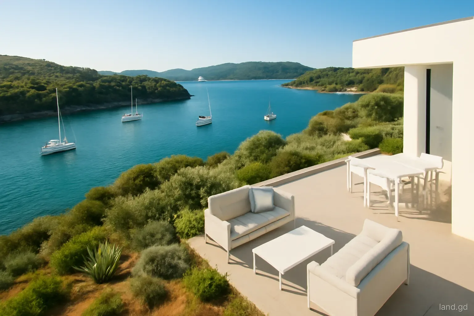
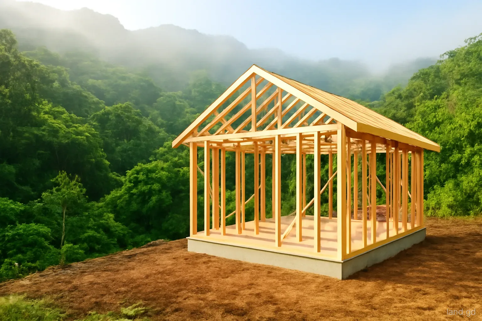
A plot with nothing but forest behind it is one of the easiest things to sell in Grenada. The view will never be built out, the air is cooler at altitude, and the soundtrack is birds and wind rather than traffic. Agents know this, and land on the edge of the Grand Etang forest, the hills above Concord and Gouyave, or the slopes around Mount Saint Catherine is often marketed on the strength of the neighbour alone.
The neighbour, though, is the State. Forest reserves and national parks are public land managed by the Forestry and National Parks Department, and their purpose is to protect watersheds, soil and wildlife, not to provide a backdrop for houses. That changes how a buyer should check the boundary, plan access, design drainage and think about fire, animals and future rules. None of it makes such land a bad buy. It makes it land where a few extra questions at the start save a great deal of trouble later.
Where the private land really stops
The most common problem on reserve-edge land is a boundary that exists on paper but not on the ground. Forest reserve boundaries in Grenada were often fixed decades ago, sometimes along estate lines, and the original marks may have vanished under bush. Neighbouring farmers may have cultivated a few metres into the reserve for a generation, and a seller can honestly believe that the cleared bananas or cocoa are part of the lot.
Before paying a deposit, ask for the approved survey plan and have a licensed land surveyor find or re-establish the marks on the side facing the forest. The surveyor can compare the plan with records held by the Lands and Surveys Division, and the Forestry and National Parks Department can confirm where it understands the reserve line to run. If the two disagree, that needs resolving before completion, not after a foundation has been poured.
Pay attention to the area figure. If a plot advertised as half an acre only reaches that size by including a strip that turns out to be reserve land, the price should be renegotiated or the purchase reconsidered.
On Carriacou the same logic applies to the protected High North area in the north of the island, where dry forest and coastal land meet. Plots near it raise the same questions about where public land begins, even though the forest there is drier and lower than on the mainland.
Rules that follow the forest across the fence
Watershed protection. Much of Grenada's piped water starts as streams in forested hills. Land near intakes and the streams feeding them can attract conditions on septic systems, clearing and earthworks, because pollution or silt here ends up in somebody's tap. NAWASA and the planning authority may both take an interest.
Planning consultation. An application for a building beside a reserve is likely to be referred to the forestry authorities for comment. Expect questions about clearing limits, drainage and how close the structure sits to the boundary.
No clearing into the reserve. Cutting trees, burning or dumping on reserve land is an offence under forestry legislation, whoever owns the plot next door. Contractors with machines need to be told clearly where the line is.
Access tracks are not rights of way. A forest trail running past the lot is usually there for management, hunters or hikers. It does not give you a legal road, and widening it for vehicles is not your decision to make.
Living next to the forest day to day
Reserve-edge land is wetter than the coast. Rainfall in the central mountains is many times higher than on the dry south-west peninsula, so roofs, gutters, cisterns and drains need to be designed for heavy, frequent downpours, and timber and fabrics will fight damp. The upside is a cistern that rarely runs dry.
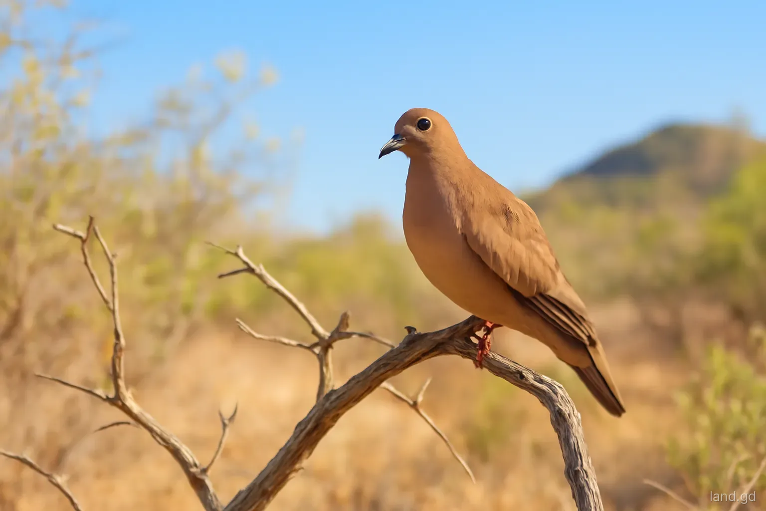
Wildlife comes with the view. Mona monkeys raid fruit trees and gardens on many hillside properties near Grand Etang, and agoutis, opossums (manicou) and armadillos (tatou) are part of the landscape. Fencing a vegetable garden, picking fruit promptly and never feeding monkeys avoids most conflict. Hunting of some of these animals is controlled by closed seasons, and hunters may pass along reserve edges in the open season.
Fire is a dry-season concern even in a wet district. Grass and bush fires lit for clearing can run uphill into forest quickly. Keeping a cleared, green buffer around buildings and not burning rubbish during dry spells protects both the house and the reserve.
Who to talk to, and in what order
Start with the attorney you will use for the purchase. Ask them to search the title at the Deeds and Land Registry and to tell you whether the deed and plan describe the forest side clearly or only by reference to "lands of the Crown" or an old estate name. Vague descriptions on the reserve side are common and worth flagging early.
Next, the surveyor. A boundary check on forest-edge land takes longer than on a suburban lot because marks are buried in leaf litter and undergrowth, and lines may need to be cut through bush. Budget for that time rather than asking for a quick look.
Then the public bodies. The Forestry and National Parks Department can say whether the land next door is a reserve, a national park or simply forested private or Crown land, and what that implies for clearing and access. The Physical Planning Unit can give an informal view on setbacks and on whether forestry or water authorities will be consulted on an application. If there is any stream on or near the land, ask NAWASA whether it feeds a water supply intake.
Only then is it sensible to commission full architectural drawings. Designs prepared before these conversations often need redrawing once the boundary, buffer and drainage requirements are known, and that is money spent twice.
Checks before you buy reserve-edge land
Run through these with your attorney and surveyor before signing anything binding:
- An approved survey plan, with marks found or replaced on the forest side.
- Written confirmation from the Forestry and National Parks Department, or the Lands and Surveys Division, of where the reserve boundary runs.
- Legal road access over public road or a registered right of way, not a forest trail.
- Whether the plot lies in a water catchment above a NAWASA intake, and what that means for septic design.
- Slope and soil: steep forest-edge land often needs engineered retaining walls and careful drainage.
- Any old cultivation, huts or tracks that cross into the reserve and could cause friction later.
- Mobile signal and electricity: the grid and phone coverage can be thin on higher ground.
- Insurance: some insurers ask more questions about remote, steep or fire-exposed sites.
Mistakes buyers make on forest-edge plots
The first mistake is assuming the view is protected forever. Reserves are designated by law and can in principle be altered, and not every green hillside is a reserve at all; some forest is simply private land that has not yet been cleared. Ask what the land behind you actually is before paying for the outlook.
The second is clearing too much. New owners sometimes strip a plot bare to "see what they have", then face erosion, slips and silted drains in the first rainy season, and a planning officer asking why the site no longer matches the drawings. Clear only what the approved plans need, and keep large trees on the slope.
The third is underestimating access. A track that is passable in a dry March can be impassable after a week of rain in October, and suppliers price remote delivery accordingly. Visit in the wet season if you can, and talk to the nearest neighbours about how the road behaves. Legal points about boundaries and access should be confirmed with a Grenadian attorney before you commit.
Frequently asked questions
Can you build right up to a forest reserve boundary in Grenada?
Not necessarily. The planning authority decides setbacks case by case and may consult the forestry authorities. Expect a buffer to be required, especially on steep ground or near streams, and design with that margin in mind from the start.
Who manages forest reserves in Grenada?
Forest reserves and national parks are managed by the Forestry and National Parks Department under the ministry responsible for agriculture and forestry. It is the body to ask about boundaries, permitted activities and any concerns about clearing near reserve land.
Is all forest in the Grenada interior protected?
No. Large areas are reserves or parks, but much forested land is private, including old estates that have reverted to bush. A survey and a check with the relevant departments are the only reliable ways to know what you are looking at.
Will monkeys damage a garden near Grand Etang?
They can. Mona monkeys eat fruit, bananas and some vegetables and become bold where people feed them. Fenced or netted beds, prompt harvesting and never offering food keep the problem manageable for most owners.
Does land near a forest reserve cost less or more?
It depends on access, slope and services more than on the reserve itself. A well-served lot with a protected outlook can command a premium, while a steep plot on a poor track may sell for less despite the setting.