Look at an old deed for almost any piece of rural land in Grenada and an estate name appears somewhere in it: the parcel is "part of" Mount Horne, Plaisance, Belvidere or Grand Bras, or it is bounded by lands "formerly of" a long-vanished plantation. The pattern of boundaries, roads and villages across the mainland was laid down in less than two centuries, between the first French settlement in the 1650s and the end of slavery in 1838.
Understanding how that happened explains a great deal about land today: why estates sit where they do, why villages cluster on certain ridges, why so many place names are French in an English-speaking country, and why questions of ownership on old estate land can be so tangled.
This article traces the main stages. It is a summary of a long and painful history, written for landowners and readers who want to understand the ground under their feet.
Before the estates: Kalinago Grenada
When Europeans first arrived, Grenada was home to the Kalinago, often called Island Caribs, who had followed earlier Amerindian peoples in the islands. They farmed cassava and other crops in small gardens, fished and moved between the islands by canoe. Petroglyphs and archaeological sites in several parishes are reminders of that long occupation before European settlement.
Early attempts by Europeans to settle the island were resisted. In 1649 and 1650 a French expedition from Martinique, led by Jacques Dyel du Parquet, established a foothold near what became St George's. Conflict with the Kalinago followed, and within a few years the French had pushed them from much of the island. The most remembered episode is at Sauteurs in St Patrick, where, according to tradition, the last Kalinago defenders leapt from the cliff rather than surrender in 1651. The site is known as Leapers' Hill or Caribs' Leap.
The removal of the Kalinago opened the land to European claims. From then on, the land was granted, bought and sold within a colonial system that treated it as property to be divided into productive units.
The French period: concessions and early crops
Under the French, land was granted in concessions to settlers, typically fronting the coast or a river, with boundaries running inland. Early crops included tobacco and indigo, followed by coffee, cocoa and, increasingly, sugar. Settlement concentrated first on the leeward west coast and around the harbour at St George's, then spread along the coastal plains and up the river valleys.
The French left a lasting mark on the map. Many parish, village and landscape names come from this period or from French Creole speech: Gouyave, Sauteurs, Grand Etang, Grand Anse, Lance aux Epines, Morne Fendue, Petit Bacaye, La Sagesse. The word "morne" for a hill, still common in Grenadian names, is French. Some estate names also survive from French owners, sometimes anglicised.
Enslaved Africans were brought in increasing numbers to work these holdings, and by the eighteenth century they formed the large majority of the population. The plantation as a unit of land, labour and production was already established when Britain took the island.
British rule and the sugar expansion
1763: the island changes hands. Britain captured Grenada during the Seven Years' War and kept it under the Treaty of Paris in 1763. British planters and merchants bought estates, often from French owners, and new land was brought into cultivation.
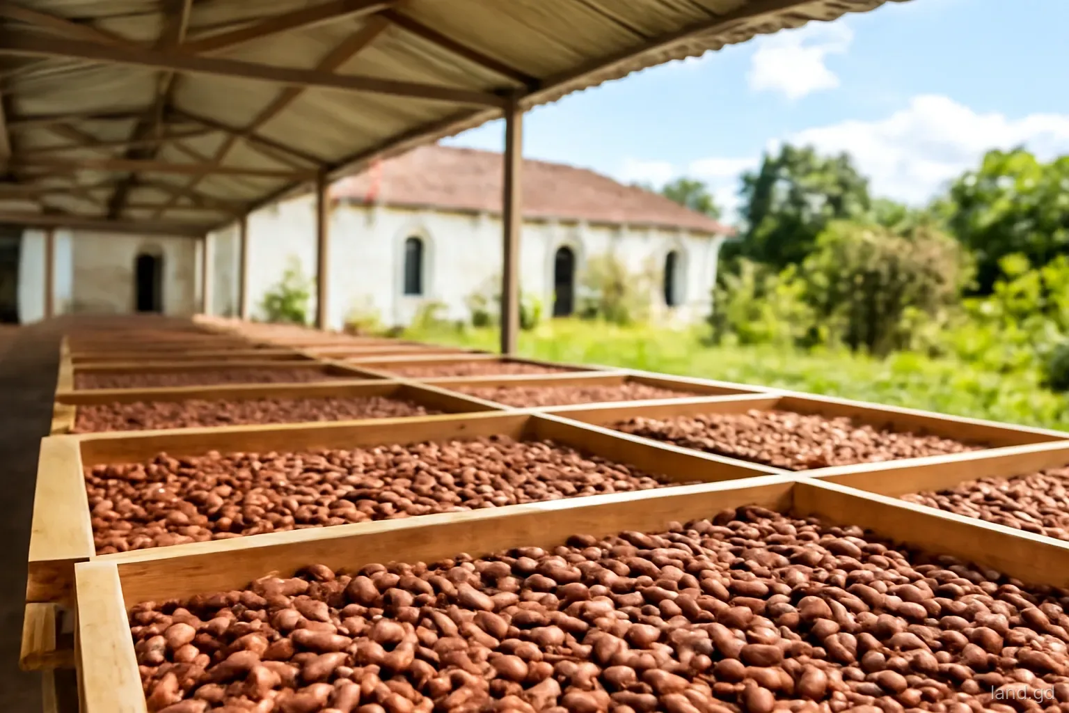
Sugar dominates. The late eighteenth century saw a major expansion of sugar estates, with mills, boiling houses and distilleries built across the coastal lowlands and lower slopes. Cocoa, coffee, cotton and indigo were grown too, particularly on hillier land where sugar was harder to work.
1779 to 1783: a French interlude. France recaptured Grenada in 1779 during the American War of Independence and returned it to Britain under the Treaty of Versailles in 1783. Tensions between British and French Catholic planters persisted and fed later conflict.
Absentee ownership. Many estates were owned by proprietors living in Britain and run by attorneys and managers on the island. Ownership passed through mortgages, inheritance and sales in London as much as in St George's.
The 1795 rebellion. Fédon's Rebellion of 1795 to 1796 devastated estates across the island and is covered in a separate article on this site.
How an estate was laid out on the ground
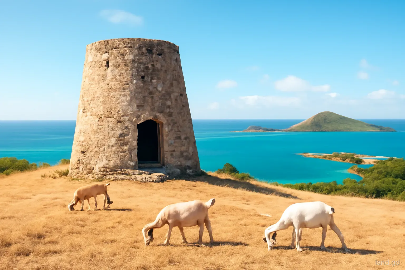
A typical eighteenth-century estate was a carefully organised landscape. Cane fields or tree crops occupied the best land. A works yard held the mill, which might be driven by cattle, wind or water, together with a boiling house, curing house and, on many estates, a still house for rum. The great house, home of the owner or manager, usually stood on a rise with a view of the fields and a breeze. Nearby were the overseer's house, stores, stables and workshops.
The enslaved people who did the work lived in a village of small houses, often some distance from the great house, and were usually expected to grow much of their own food on provision grounds on steeper or less valuable land at the edge of the estate. Those provision grounds matter to later land history: they were where many people first cultivated land as their own, even though they had no legal title, and after emancipation many families sought to secure land in the same areas.
Water supply, access to the coast for shipping and the line of the slope decided where works and roads went. Many of today's rural roads follow old estate tracks, and many villages grew from former estate villages.
Emancipation and the end of the old order
The British Parliament's Slavery Abolition Act took effect on 1 August 1834. In Grenada, as across the British Caribbean, formerly enslaved people were placed under an "apprenticeship" system that required them to keep working for their former owners for most of the week. Apprenticeship ended in 1838, and full freedom followed.
Planters, meanwhile, received compensation from the British government for the loss of their "property". The people who had been enslaved received nothing. Freedom brought a new struggle over land: many freed people wanted to leave the estates and farm independently, while planters wanted to keep a labour force. That contest shaped the next century of land history, which is the subject of a further article on this site.
The compensation process left a detailed paper trail. Claims were filed estate by estate, and together with the slave registers compiled from 1817 onwards they are held in the United Kingdom and have been studied and indexed by historians. For anyone researching a particular Grenadian estate, these records can reveal owners, mortgage holders and the number of people enslaved there, and university research projects have made much of this material searchable.
Emancipation Day, 1 August, is a public holiday in Grenada and a time of reflection on that history.
What this history means for land today
For a landowner or buyer, the plantation centuries leave practical traces as well as historical ones, some of which surface during a title search, a survey or simply a walk around the land:
- Old estate names often appear in deeds as the root of title, and tracing a parcel back may lead to an estate subdivision decades ago.
- Boundaries on old estates were sometimes described by natural features, neighbouring estates and trees rather than precise survey, which can cause disputes today.
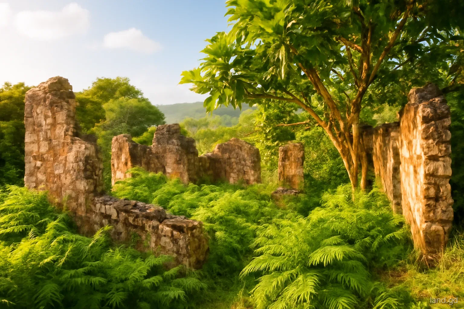
- Ruins of mills, boiling houses and great houses lie on private land in every parish; they are part of the national heritage and should be treated with care.
- Some land around old estate villages has been occupied and farmed by the same families for generations without formal title, raising questions of long possession.
- Place names hint at land history: a village called after an estate often began as its labour settlement.
Frequently asked questions
Who first settled Grenada before the French?
Amerindian peoples lived in Grenada for many centuries before Europeans arrived. At the time of French settlement around 1650, the island was inhabited by the Kalinago, often called Island Caribs. Archaeological sites and petroglyphs in several parishes record that long period of occupation.
Why are so many Grenadian place names French?
France controlled Grenada from the 1650s until 1763, and again briefly from 1779 to 1783. French settlers and the French Creole language spoken on the island for generations left names such as Gouyave, Sauteurs, Grand Etang and Lance aux Epines, as well as the common word morne for a hill.
When did Britain take control of Grenada?
Britain captured Grenada during the Seven Years' War, and the island was ceded to Britain by the Treaty of Paris in 1763. France recaptured it in 1779, but it was returned to Britain in 1783 under the Treaty of Versailles and remained British until independence in 1974.
What crops did the early estates grow?
French settlers began with tobacco and indigo, then moved into coffee, cocoa and sugar. Under British rule in the late eighteenth century sugar expanded sharply, while cocoa, coffee and cotton remained important on hillier or drier land. Nutmeg came later, in the nineteenth century.
When was slavery abolished in Grenada?
The Slavery Abolition Act took effect on 1 August 1834, followed by an apprenticeship system that ended in 1838, when full freedom came. Emancipation Day on 1 August is a public holiday in Grenada, marking that history.