St David is the only parish in Grenada without a town of its own. There is no equivalent of Grenville or Sauteurs, just a string of villages, a long indented coastline of bays and points, and inland valleys that still carry nutmeg, cocoa, bananas and provision crops. For land buyers that absence of a centre is the whole character of the place: quieter, more residential and agricultural, yet close enough to the south of St George to commute.
Over the past few decades the parish has drawn a steady flow of buyers who want sea views without Grand Anse prices. Westerhall Point became one of the best-known residential developments in the country, and other headlands and ridges have been subdivided since. At the same time, most St David land is still family land in villages such as Corinth, Perdmontemps, Marian and Petite Bacaye.
This page covers what the terrain is like, where the different kinds of plots are, how water and access work, and what to check before committing in a parish where a beautiful bay may come with a rough road.
Coast, ridges and valleys
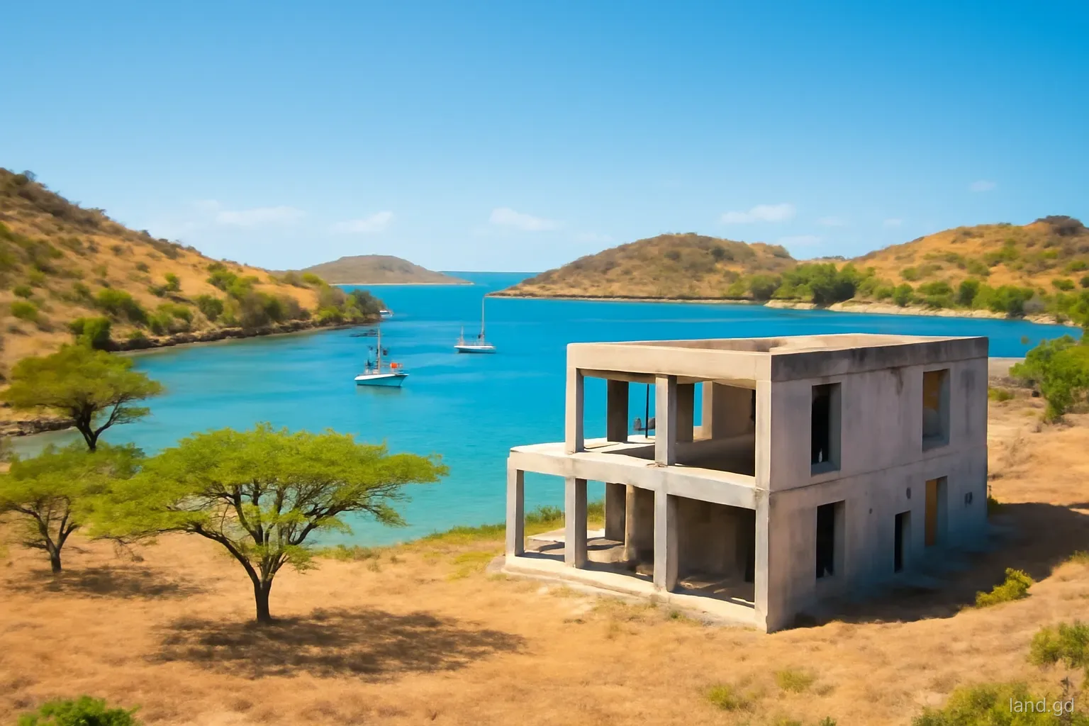
The St David coastline is a series of fingers of land separated by deep, sheltered bays. From the boundary with St George, the coast runs past Westerhall and on towards La Sagesse, Requin and the bays further east and north. Some bays have narrow beaches, many have rocky shores, and several are protected inlets that yachts use as anchorages. Headlands catch the trade winds and look over the Atlantic-facing south-east coast, which is part of their appeal and part of their exposure.
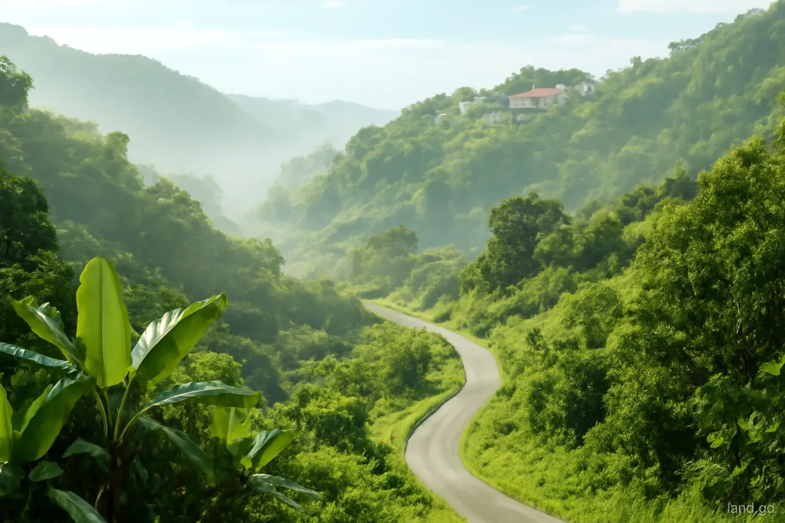
Behind the coast, ridges run inland and rise towards the central range. Roads tend to follow these ridges, with villages strung along them and land falling away on both sides into valleys. That pattern means many plots have good views but steep back halves, and many agricultural parcels in the valleys are reached by tracks rather than proper roads.
The valley floors and lower slopes hold the best agricultural soil in the parish. Here you will find mixed smallholdings with nutmeg, cocoa, fruit trees and ground provisions, some still worked, some overgrown since the damage of Hurricane Ivan in 2004.
Where the different kinds of plot are
Developed headland subdivisions. Westerhall Point is the best-known example: a planned residential development on a peninsula with internal roads, utilities and established houses. Lots here sell at a premium for views, security and certainty about services, and they come with development covenants.
Newer coastal subdivisions. Other points and bay-facing slopes have been divided into house lots more recently. Infrastructure varies widely, from finished roads and power to little more than a cut track and survey pegs.
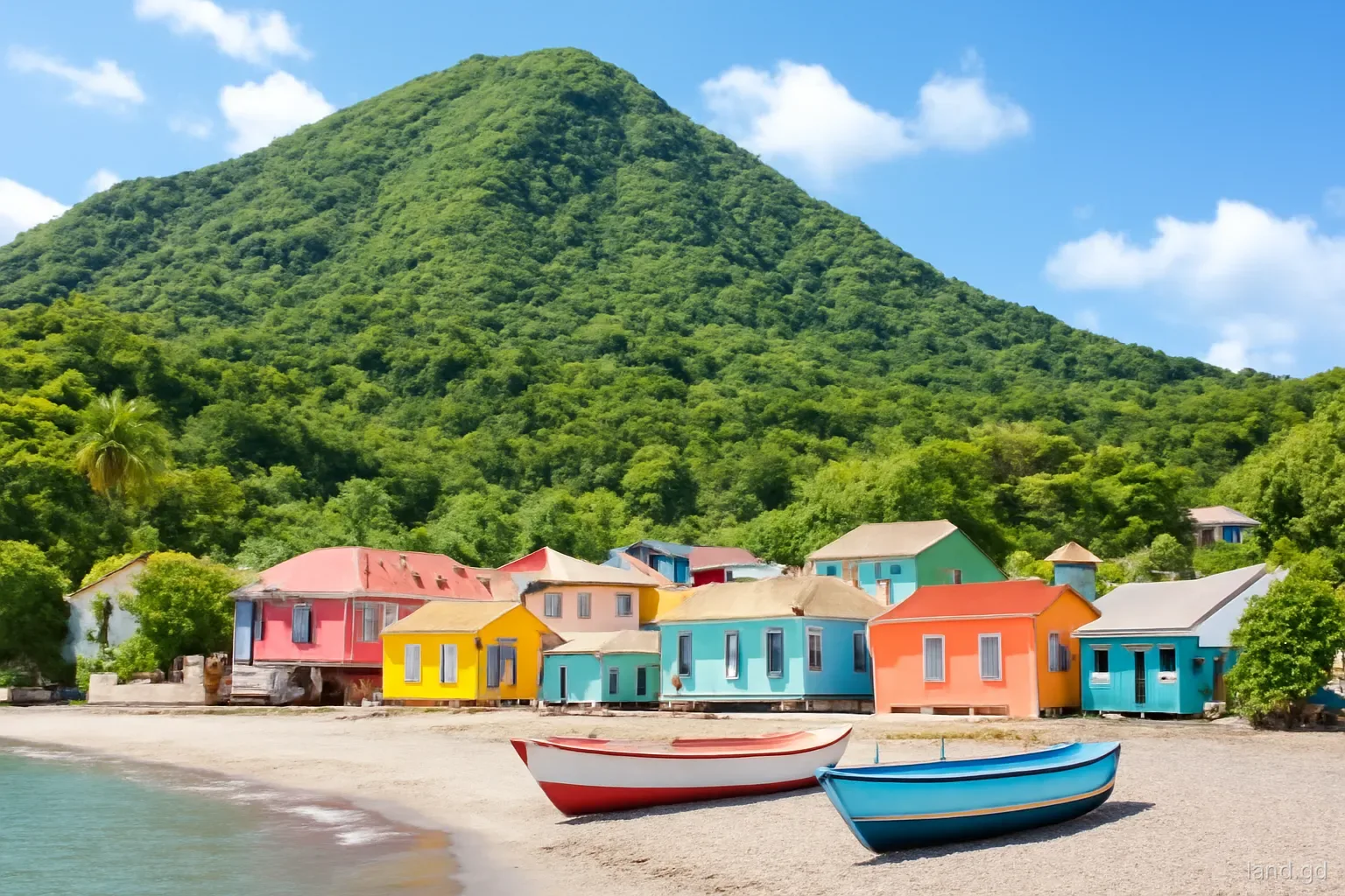
Village house lots. Along the main roads through places like Corinth, Perdmontemps, Marian and St David's village itself, house lots change hands mostly between Grenadians. They are usually cheaper, served by public roads, and close to schools and churches.
Agricultural land. Inland parcels, from a single acre to several, are sold for farming, for family compounds or as long-term holdings. They often lack water and power at the boundary and need a careful look at access rights.
Bay frontage. Land that runs down to one of the sheltered bays is rare and valued highly, but coastal setbacks, steep shorelines and mangrove or wetland protection can limit what is buildable.
Water, power and roads
Much of St David is served by NAWASA and GRENLEC networks along the main roads, but service quality falls off with distance and elevation. Ridge-top plots can suffer low water pressure, and plots set back from the road may need long service connections across other land. Before buying, ask NAWASA and GRENLEC what it would take to connect the specific plot and whether any line extension would be at the buyer's cost.
Rainfall is moderate, higher than the far south-west but lower than the central highlands. Most households combine piped water with roof catchment and a cistern, and that is a sensible design assumption for any new house.
Roads are the real variable. The main roads are paved, but the side roads serving coastal subdivisions and valley land can be steep, narrow and badly drained. Heavy rain can wash out unpaved sections, and construction trucks may struggle on gradients. Drive the route in a normal car, ideally after rain, and ask neighbours how it behaves in the wet season.
Checks that matter more in St David
Every purchase needs the standard legal and survey work, but these points come up repeatedly in this parish:
- Whether a coastal subdivision received planning approval as a subdivision, and whether its roads were built to the standard required for handover or remain private.
- Who maintains a private road, and whether lot owners are bound to contribute through covenants or an owners' association.
- The position of mangroves, wetlands and the high-water mark on bay-front plots, and how setbacks reduce the buildable area.
- Exposure to wind and sea on headlands, which affects roof design, window choices and insurance.
- Rights of access across neighbouring agricultural land for inland parcels reached by tracks.
- Whether family land has a clear chain of title and agreement from all heirs before a sale.
- Slope and drainage on ridge lots, especially the steep fall at the back of many roadside plots.
Who buys in St David, and what that means for price
Two markets overlap here. On the coastal points and in planned developments, buyers include foreigners, citizenship-by-investment investors and returning nationals, and prices are quoted with that audience in mind, frequently in US dollars. In the villages and valleys, buyers are mostly local families and small farmers, prices are quoted in EC dollars and negotiation follows local norms.
Because the two markets sit close together, it is possible to find a village lot with a partial sea view at a fraction of the price of a developed headland lot a short drive away. The difference reflects certainty as much as location: services, covenants, finished roads and clean subdivided titles cost money to create, and developers recover that cost in their prices.
Commuting time to the south of St George is modest by Grenadian standards, which supports demand from people who work in the capital or at the university but prefer a quieter home. Treat any price as negotiable and confirm current values with a local valuer or several agents rather than relying on one asking figure.
Foreign buyers should remember that an Alien Landholding Licence is generally needed unless an exemption applies, and that the licence fee and timeline should be built into the budget whether the plot is a village lot or a headland view lot.
Wind, sea and storms on the south-east coast
The headlands and ridges that give St David its views also face the prevailing easterly trade winds and the open Atlantic to the south-east. In ordinary weather that means a steady breeze and few mosquitoes. In a hurricane or strong tropical storm it means full exposure. Hurricane Ivan in 2004 caused severe damage across the south of Grenada, and buildings on exposed points suffered badly.
For a buyer, exposure translates into building cost. Roofs need stronger connections and careful design, windows and doors need protection, and outdoor structures such as pergolas and solar mounts must be engineered for wind. Insurers will ask about construction standards, and premiums reflect location.
Sea exposure matters too. Salt spray drifts well inland on windward points, corroding metal fittings, air-conditioning units and vehicles. Plots set slightly back from the edge or sheltered by a ridge can offer most of the view with less punishment. Sheltered bays, conversely, are calmer but can trap heat and, near mangroves, insects. Walking a plot at different times of day, and asking existing residents what storms did to their houses, is worth more than any brochure description.
Frequently asked questions
Does St David have a main town?
No. St David is the only parish without a town. Services such as shops, schools and churches are spread across villages like St David's, Corinth and Perdmontemps, and most residents rely on St George's and the south coast for banks, supermarkets and government offices.
Is Westerhall Point the only planned development in St David?
It is the best known and longest established, but other headlands and slopes have been subdivided into house lots. Infrastructure and approvals vary widely between them, so each development needs to be checked individually for approved plans, finished roads and utility connections.
Is St David good for farming?
The inland valleys have productive soils and a history of nutmeg, cocoa, banana and provision farming. Access and water are the usual constraints. Check whether a parcel has a reliable road, a water source and clear rights of way before buying it for agriculture.
How long is the drive from St David to St George's?
Depending on the village and traffic, most of the parish is roughly a half-hour to an hour from the capital by car. Coastal subdivisions near the St George boundary are closer, while villages further east and inland take longer, especially at peak times.
Are bay-front plots in St David easy to build on?
Not always. Coastal setbacks, steep rocky shorelines, mangroves and wetland protection can all reduce the buildable area. Have a surveyor show the high-water mark and ask the Physical Planning Unit about setbacks before agreeing a price based on waterfront frontage.